|
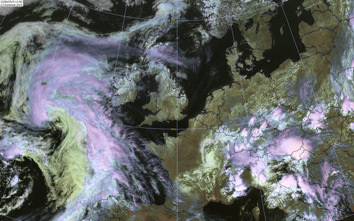
In mid-June there were again heavy thunderstorms in Germany. A cold front moved from northwest to east, triggering showers and thunderstorms
in the region of the preceding convergence. The main hazards here were intense precipitation (70mm in a few hours) and gale gusts.
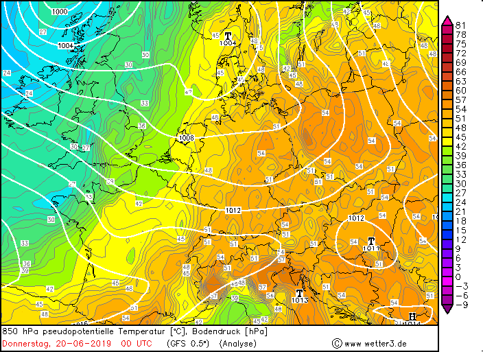
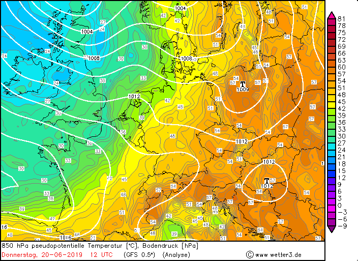
Already at the beginning of June severe thunderstorms hit Germany. The weather then calmed down as a pronounced ridge over Central Europe stabilized.
Temperatures rose to around 30°C and so did humidity.
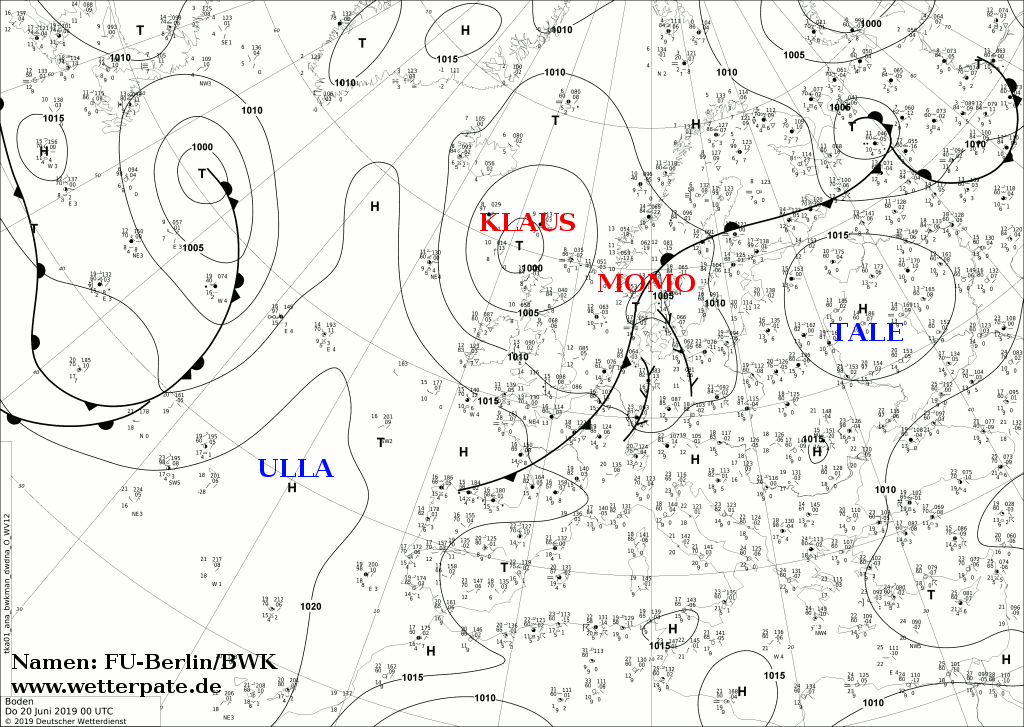
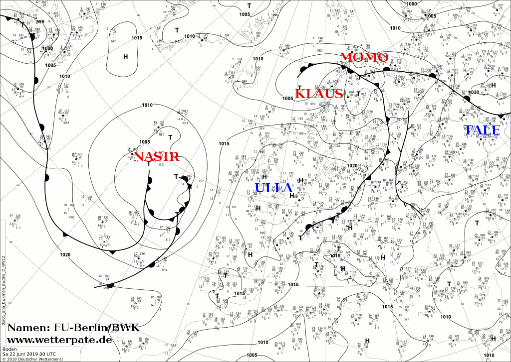
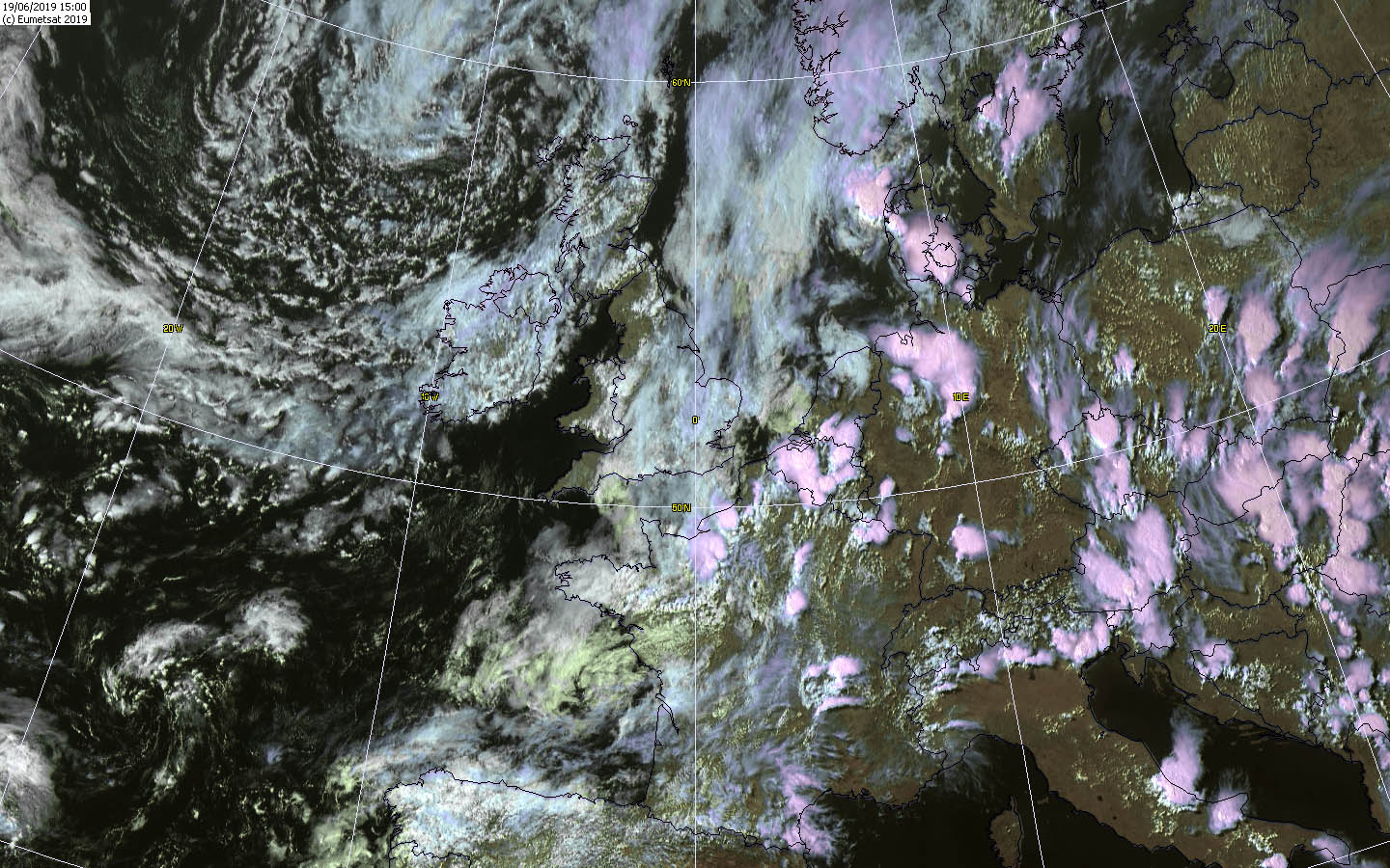
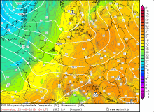
A short-wave trough formed along the frontal zone between the ridge and the trough over the Atlantic, which influenced the weather in Germany
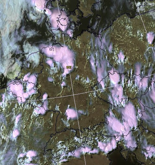
from 18 June onwards. By lifting the air masses and approaching the cold front from the west, a convergence zone was formed between the low MOMO and the
high TALE above the north of Germany. Due to the unstable stratification of the atmosphere, strong thunderstorms formed along the convergence zone
and the cold front.
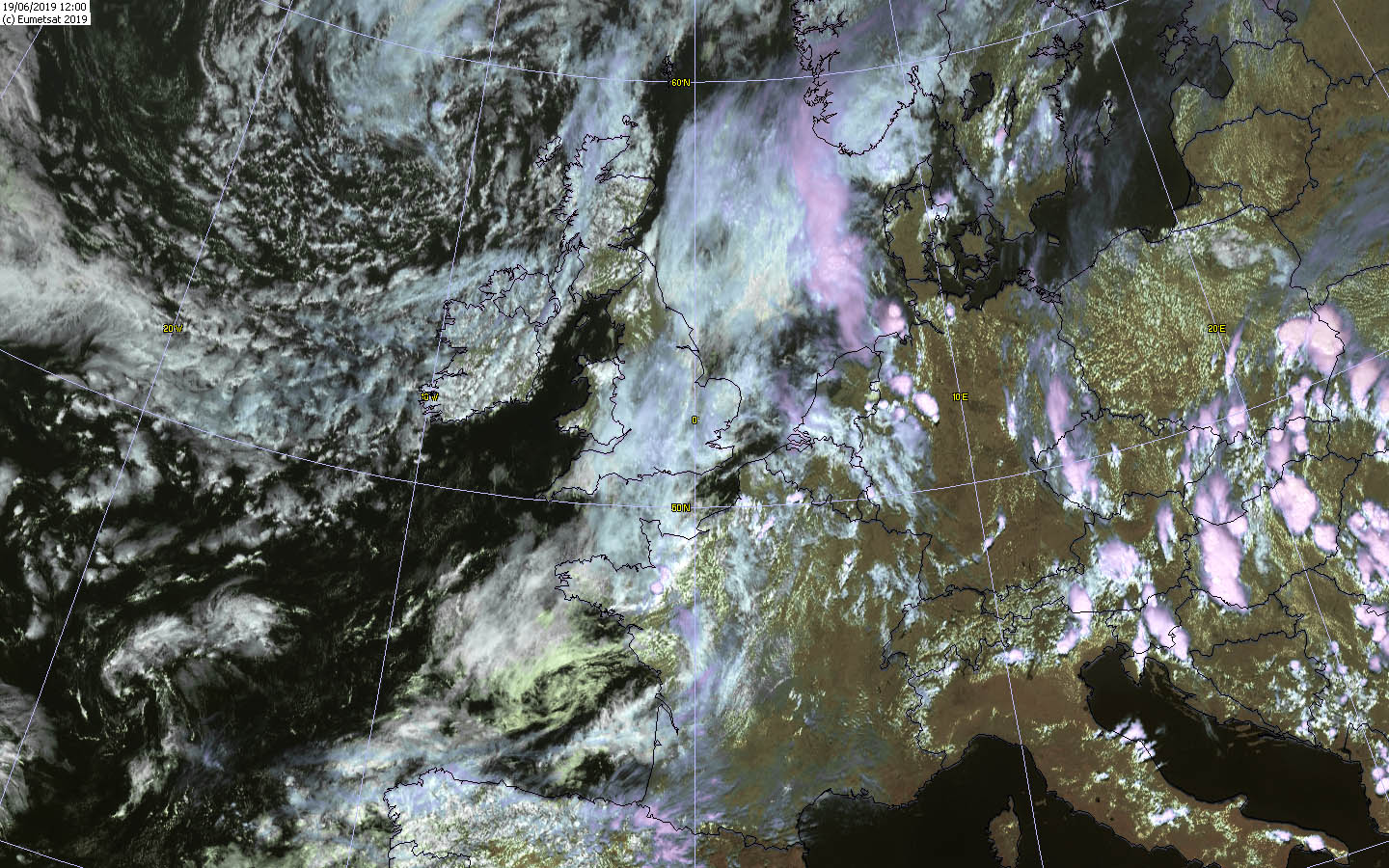
On June 19 heat thunderstorms caused by orography first formed at the German low mountain ranges, later by the approaching cold front then also in the
rest of the country. Exceptions were the south and southeast. There the influence of high pressure and its downward inversion was still too strong, so that no
thunderstorms could assert themselves even at the edge of the Alps. Only in Switzerland and Austria thunderstorms did occur. Where thunderstorms formed, they
often remained active into the night. The reason for this was the very unstable stratified air due to the cold front passage.
|
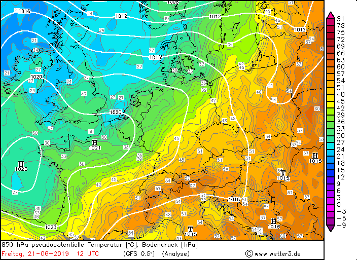
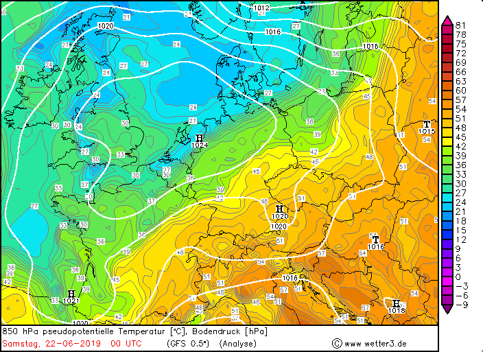
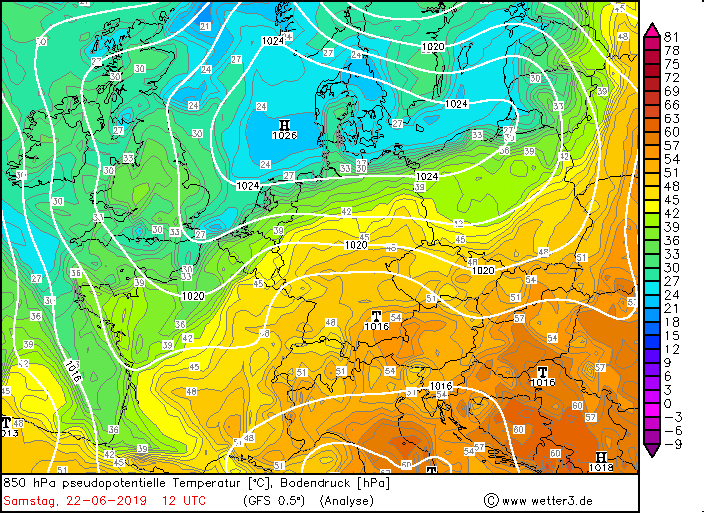
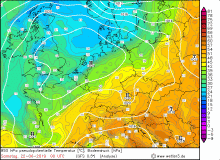
850 hPa pseudopot. temperature, June 20-22:
Wetter3
|
 |
 |
 |
 |
|
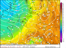
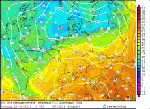
850 hPa pseudopot. temperature:
Wetter3
|
 |
 |
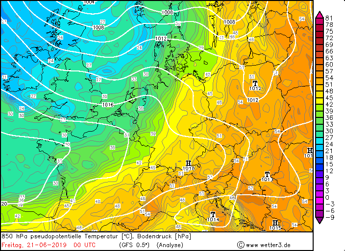
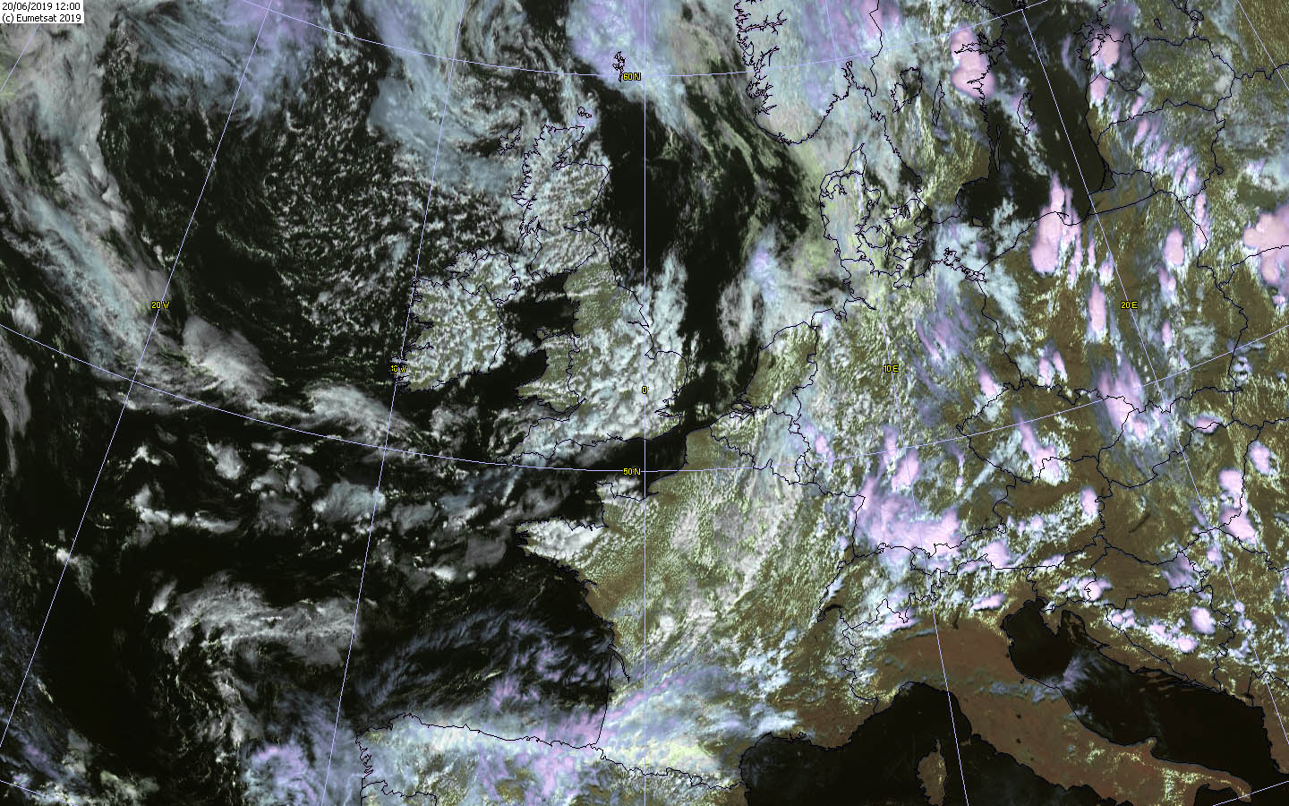
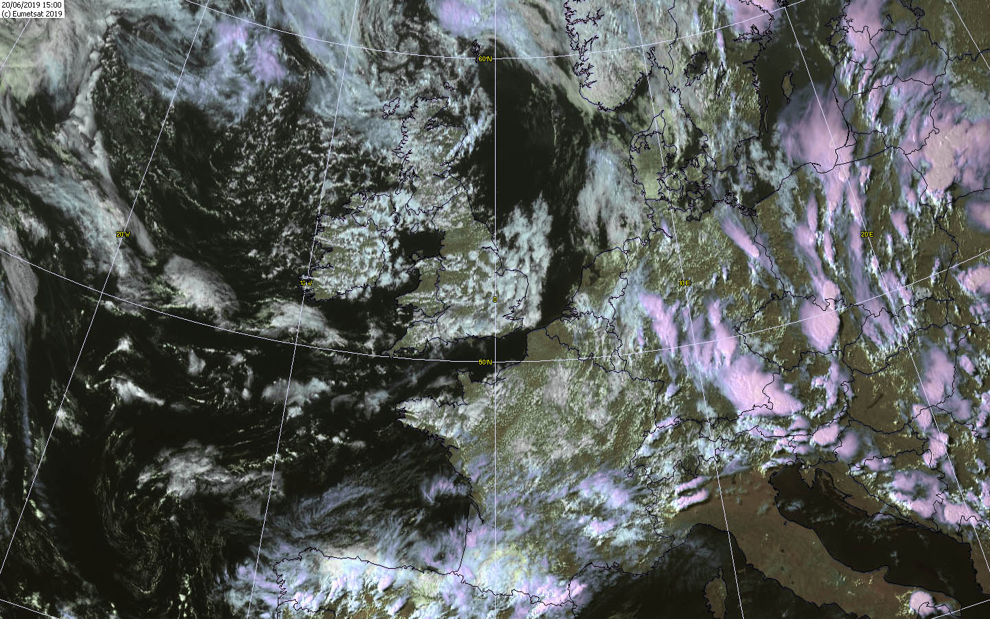
On the 20th of June, heavy storms with hail and heavy precipitation formed at the edge of the Alps. However, it remained here with slowly moving single heat
thunderstorms. The cold front never reached the south. Also on the following days up to and including 22 June there were heat thunderstorms at noon.
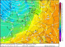
On 22 June the Black Forest was alsoaffected by severe single cells. There was danger above all by hail and violent precipitation. Some roads had to be closed,
because they were flooded by the enormous amounts of precipitation (e.g. A7). Due to the partly hurricane-like downbursts, trees turned over and also blocked roads
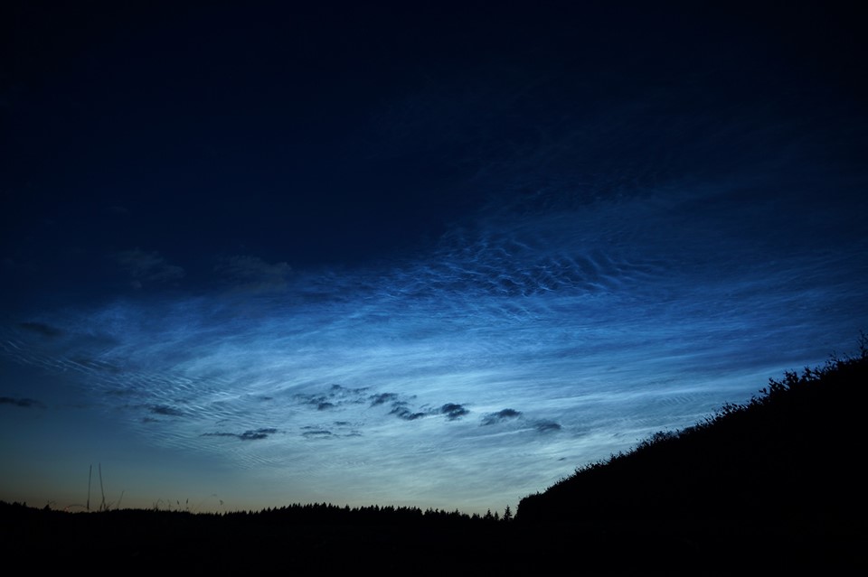
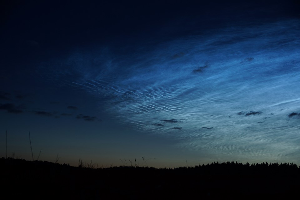
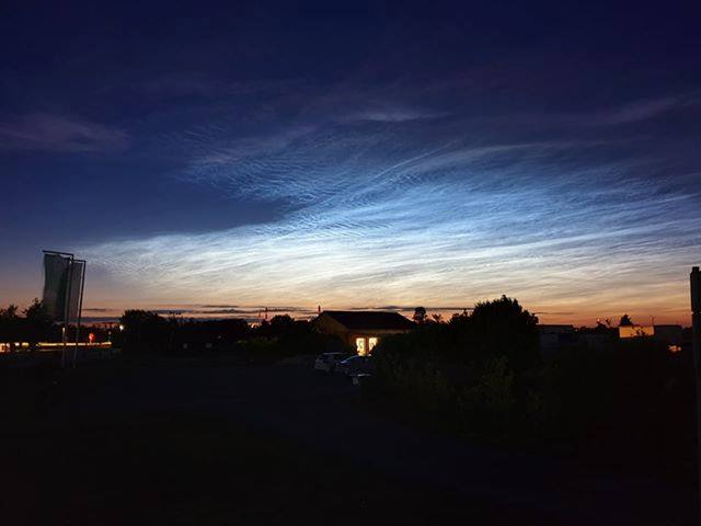
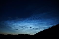
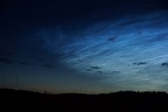
It is also worth mentioning that in the period from 21 to 23 June, widespread bright noctilucent clouds were observed in Germany and in many parts of
Europa as well. These only occur in the summer months and can only be seen after sunset. Since they are formed in the mesosphere from ice particles of volcanic
origin (sulfide crystals), they are still illuminated by the sun due to their height and seem to shine.
|
Photos of the NLC over the Eifel (Bernhard Mühr) and Rheinstetten (Stefan Krau) on June 21st :
|
 |
 |
 |
 |
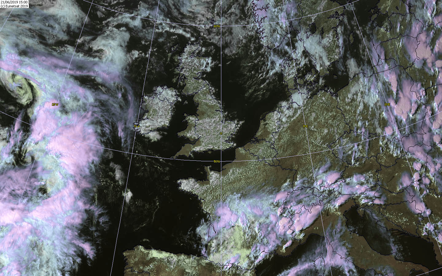
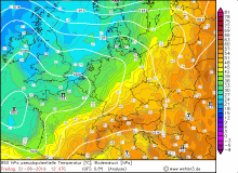
After the thunderstorms had calmed down everywhere in the country on 23 June, a heat wave was now on the horizon (see).
Text: MG
June 28th, 2019
|