Banner
Der Internet Explorer bietet nur eine eingeschränkte Funktionalität. The browser you're using is only limited functionable.

Thursday, 07 Apr 2022, 08:00 UTC


500 hPa Geopotential Europe, 07.04., 00 UTC
Source: Wetterzentrale
1 h precipitation, 07.04., 12 UTC
Source: Wetterzentrale
Wind gust speed in kt, 07.04., 12 UTC
Source: Wetterzentrale
Satellite image (visible), 07.04., 07:25 UTC
Source: Sat24


Extratropical Storm
Central Europe

Issued: Thursday, 07 Apr 2022, 08:00 UTC

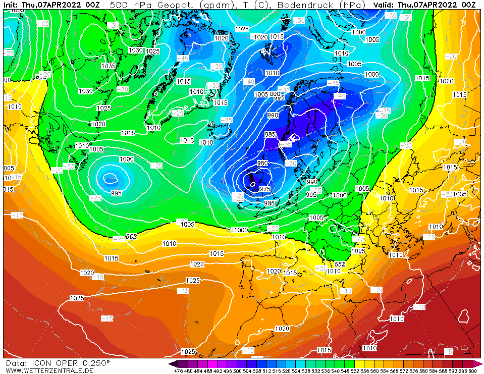
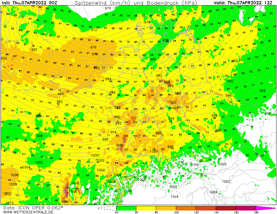
Low pressure area NASIM I provides wind gusts up to 100 kph over entire Germany on Thursday, 07 April.

07.-08.04.2022


In a trough over the United Kingdom, the low pressure area NASIM I formed on 06 April and since then its center has been moving at low speed westward approaching Denmark. The low pressure area has a separated structure of the warm 
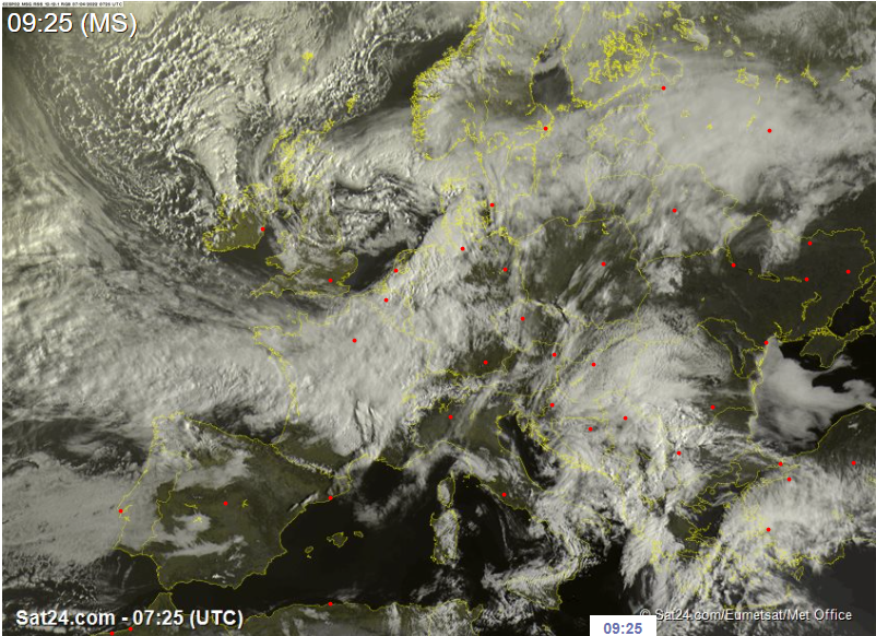
and cold fronts, which causes the cold front to wrap around the center of the low. The cold front flowing in at the back of the cold front is visible in the satellite image by an almost cloud-free zone.

The strong horizontal pressure gradient will result in gale-force winds of up to 90 kph across Germany on Thursday. It is notable that southern Germany is equally or even more affected than northern Germany. During the passage of the cold front (in Karlsruhe around 18 UTC), gusts up to 100 kph are also possible. There is hazard from whirling objects.


Issued: Apr 07, 2022, 08:00 UTC
FS

Visit us at
Facebook:

Information on warning levels and icons used
Information on meteoalarm.eu