Thursday, 03 December 2020, 19:00 CET
Extratropical Low Wenke
Alps, Italy
Issued: Thursday, 03 December 2020, 19:00 CET
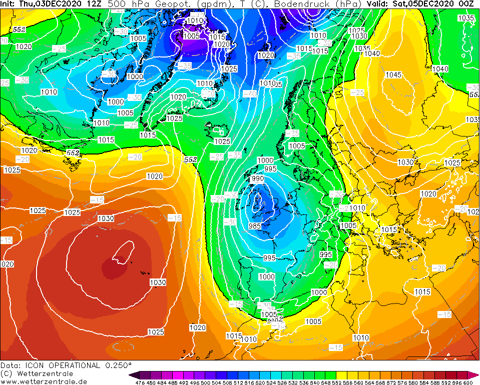
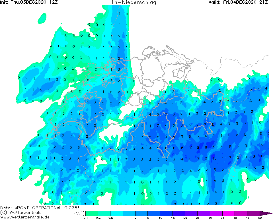
A cut-off low over Western Europe leads to precipitation up to 300 mm in the southern Alps. Fresh snow amounts of up to 200 cm expected.
03. - 07.12.2020
From a pronounced trough over Western Europe, an almost stationary cut-off low will form in the coming days,
with its center over the British Islands. Due to the cyclonic rotation around the low pressure area, humid and
again somewhat warmer air will reach Central Europe from Friday onwards. At lower altitudes below 800 m this
will lead to rainfall, at higher altitudes to snowfall. Due to the southern inflow abundant and persistent orographic
precipitation is expected in the Southern Alps. Until Sunday evening, total precipitation amounts of up to 300 mm are possible.
There can be fresh snow amounts of up to 200 cm. Also in the Mediterranean area around and in Italy as well as in Slovenia,
abundant precipitation of up to 100 mm is possible, in orographic areas up to 200 mm. There is a danger of floods and landslides.
Issued: December 03, 2020, 19:00 CET
FS
|